Roughlock Falls
Updated on December 9, 2023 • 2 minute read • 353 words
2.1 mile hike • 242 feet elevation
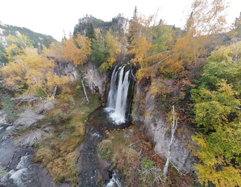
Roughlock Falls is an easily accessible waterfall in the Spearfish Canyon. The falls have convenient parking and a paved trail with railings. The well developed trail system makes this an easy hike for all ages.
Useful Information
- The are multiple free parking areas.
- There are bathrooms available at the trialhead but no drinking water.
- Leashed pets are allowed.
- The trail is open year-round.
- Multiple viewing areas are available and easy to access.
Directions
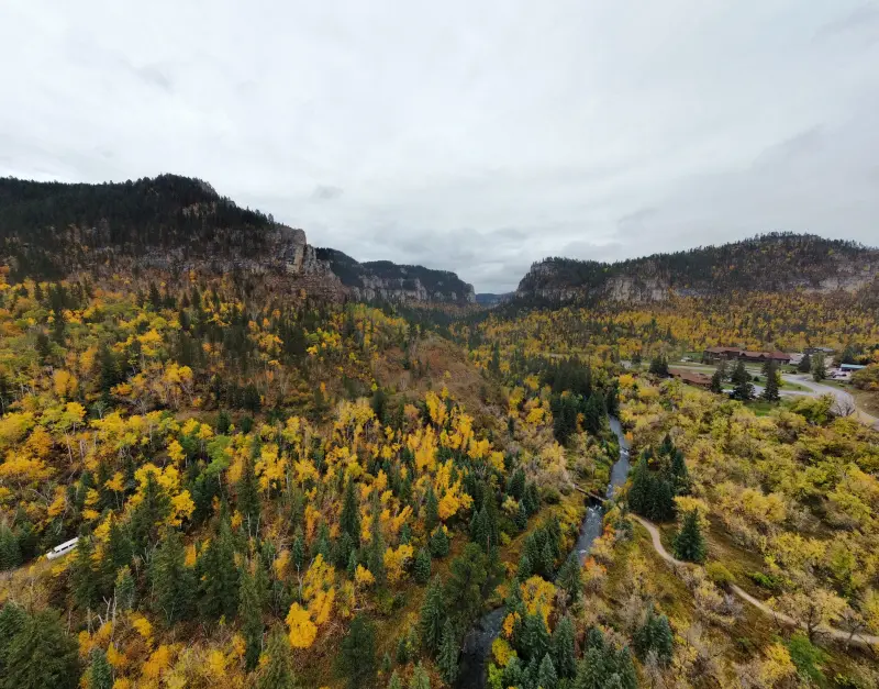
To reach Roughlock Falls, start your journey in Spearfish, South Dakota, and take West Jackson Boulevard (Highway 14A) until you reach the stoplight marking the intersection of US-85 S/N Main St and US-14A E marking the beginning of Spearfish Canyon. Turn onto US-14A E continue down the canyon until you come to the Latchstring Restaurant. To many, this is considered the halfway marker for the Spearfish Canyon. On your left you will see the Latchstring Restaurant parking area and the trailhead for Spearfish Falls . You will turn right at the Spearfish Canyon Lodge down a dirt road and multiple parking areas for the trail. The official parking area for Roughlock Falls is the last parking area on the left side of the road. The trail entrance is on the left side of the parking lot and is well marked with wooden viewing areas.
The Trail
The waterfall can easily be accessed by parking in the nearby parking area and walking the paved path. The area around the parking lot has numerous picnic tables near the flowing creek. A restroom, informational signs, and open grassy areas are also available.

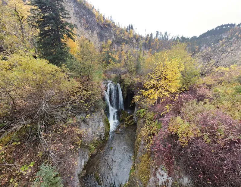
Following the winding trail takes you to the viewing areas of the falls. There are two stopping areas at the top of the falls and another at the bottom. The path is very steep going from the top to the bottom of the falls but all paved and easy to walk.


At the bottom of the falls, the trail forks into one trail to view the falls and another to walk the Roughlock Falls Trail. The Roughlock Falls Trail goes to the Roughlock Lodge where it joins with the Savoy Trail.